Amir Brooks · 16 September 2026
Dunlow's Watershed Data Sparks Volunteer Mapping Project for Hidden Tributaries
Recent analysis of watershed data collected across Dunlow has prompted the launch of a volunteer-driven mapping initiative aimed at locating and documenting hidden tributaries throughout the region, and the effort draws on hydrological records that highlight previously uncharted water flows feeding into main channels. Data gathered from monitoring stations between 2023 and 2025 revealed unexpected variations in flow rates during seasonal shifts, which in turn pointed toward smaller feeder streams that standard surveys had overlooked. Researchers at regional environmental agencies noted these patterns while cross-referencing precipitation records with stream gauge outputs, and the discrepancies suggested that several tributaries remained unmapped despite their contribution to overall basin volume.
Data Collection and Initial Findings
Monitoring equipment installed at key points along the primary watershed recorded discharge volumes that exceeded projections based on visible waterways alone, prompting further investigation by hydrology teams. Those readings indicated subsurface connections and seasonal channels that activate during heavier rainfall periods, while satellite imagery and lidar scans confirmed depressions in the terrain consistent with intermittent streams. Observers from the local water management district compiled these datasets into a public report released in early 2026, and the document outlined specific coordinates where additional mapping could clarify the full extent of the network. Volunteers who reviewed the report identified clusters of potential tributaries near agricultural zones and forested ridges, areas where ground access had previously been limited.
Volunteer Project Launch in September 2026
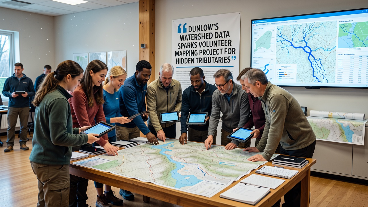
The volunteer mapping project officially began in September 2026 with training sessions held at the Dunlow community center, where participants learned to use handheld GPS units, water sampling kits, and drone-assisted photography to document stream locations. Organizers coordinated with county planning offices to secure access permissions for private land parcels containing suspected tributaries, and teams divided into groups of four to cover quadrants identified in the watershed report. Each group followed standardized protocols for recording channel width, depth, vegetation cover, and flow direction, then uploaded findings to a shared digital platform for verification by professional cartographers. Data from these field efforts quickly confirmed three previously undocumented tributaries, each contributing measurable volume during the autumn rains that arrived later that month.
Methods and Tools Employed
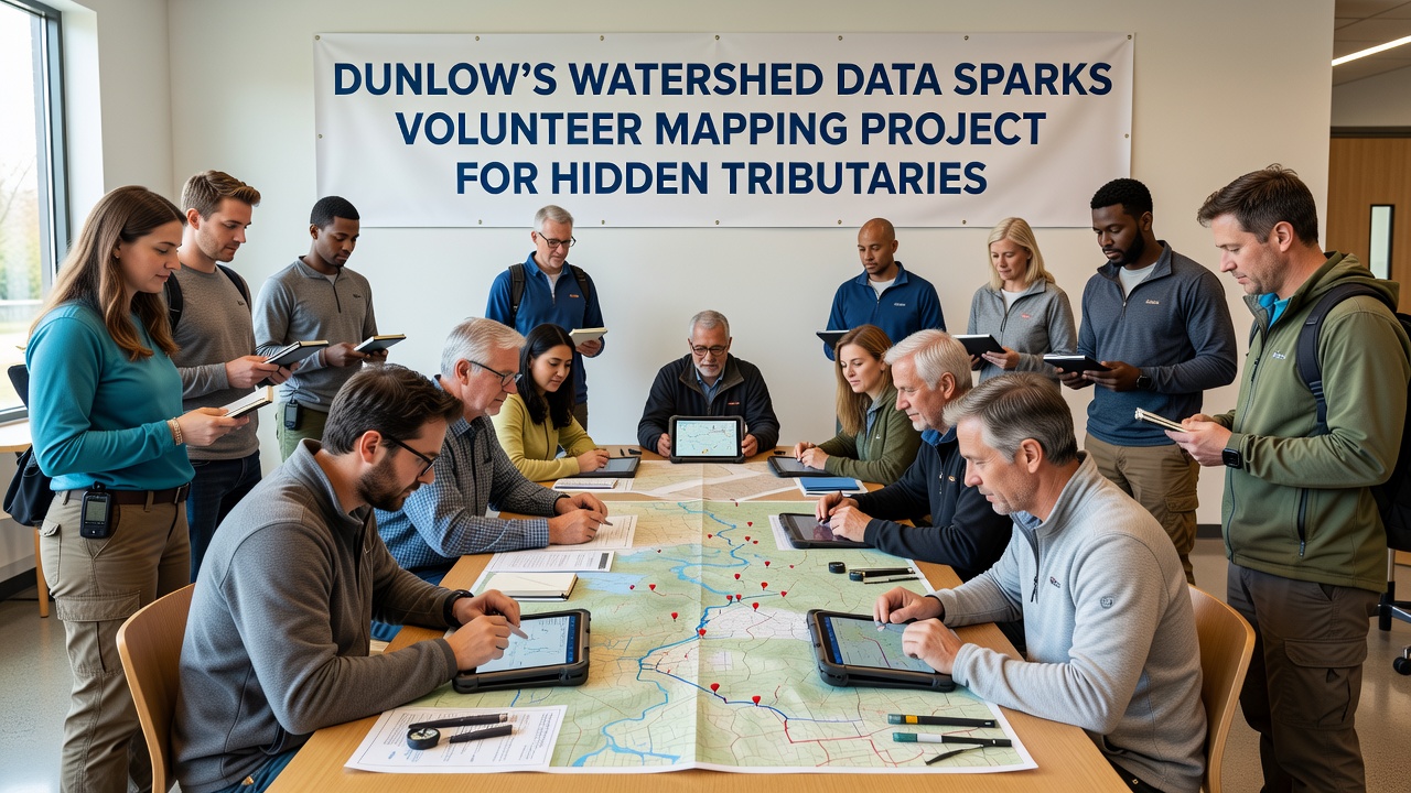
Participants combined traditional surveying techniques with modern geospatial software to create layered maps that integrate elevation data, soil permeability readings, and historical flood records. The process started with desktop analysis of the original watershed dataset, followed by on-site verification walks that traced water paths from headwater seeps down to confluences with larger streams. Drones equipped with multispectral cameras helped identify vegetation signatures typical of riparian zones, while portable flow meters provided quantitative measurements that aligned with earlier gauge data. Those who joined the project attended workshops led by staff from the United States Geological Survey, and additional guidance came from academic partners at a Canadian research institution focused on boreal hydrology studies. Results from the first phase of mapping appear in an online repository that updates weekly, allowing anyone to track progress and suggest new sites for examination.
Broader Context and Related Efforts
Similar volunteer mapping programs have operated in other watersheds across North America, where community groups have filled gaps left by official surveys that prioritize larger rivers. In Dunlow the initiative aligns with ongoing basin management plans that emphasize comprehensive documentation before infrastructure upgrades or restoration projects proceed. Figures released by the Environmental Protection Agency show that accurate tributary mapping improves predictive models for nutrient transport and flood risk, and local officials have referenced these models when planning culvert replacements along rural roads. The Dunlow project also connects with a European Union-funded study on small-stream ecology that examined comparable terrain in central France, providing comparative datasets on seasonal flow variability. Participants continue to refine their techniques as new data arrives, and the shared platform now includes layers for land-use changes that may affect tributary stability over time.
Conclusion
The watershed data release has directly enabled a structured volunteer effort that continues to expand the known network of tributaries in Dunlow, and the resulting maps support more precise environmental planning. Field teams maintain regular schedules through the remainder of 2026, with additional phases planned for spring when snowmelt increases flow visibility. Updates from the project feed into regional databases maintained by government agencies, ensuring that findings contribute to broader hydrological understanding without duplicating existing records.